Discover traditional seasonal information
Weather wisdom from the world's oldest continuous culture
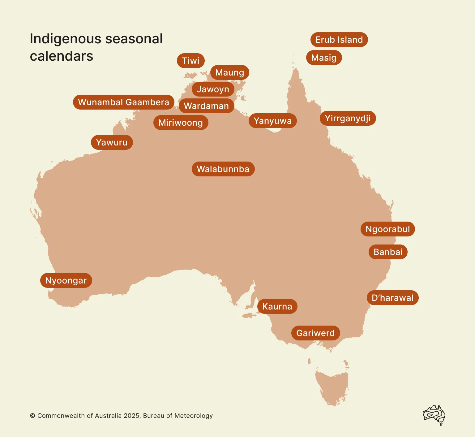
Aboriginal and Torres Strait Islander people hand down environmental and seasonal observations from generation to generation. This is valuable information that informs life on Country for many people.
We're honoured to host traditional seasonal calendars on our website.
Aboriginal and Torres Strait Islander readers are advised that these pages may contain images of and references to people who have died.