Homepage and main map - Indigenous Weather Knowledge
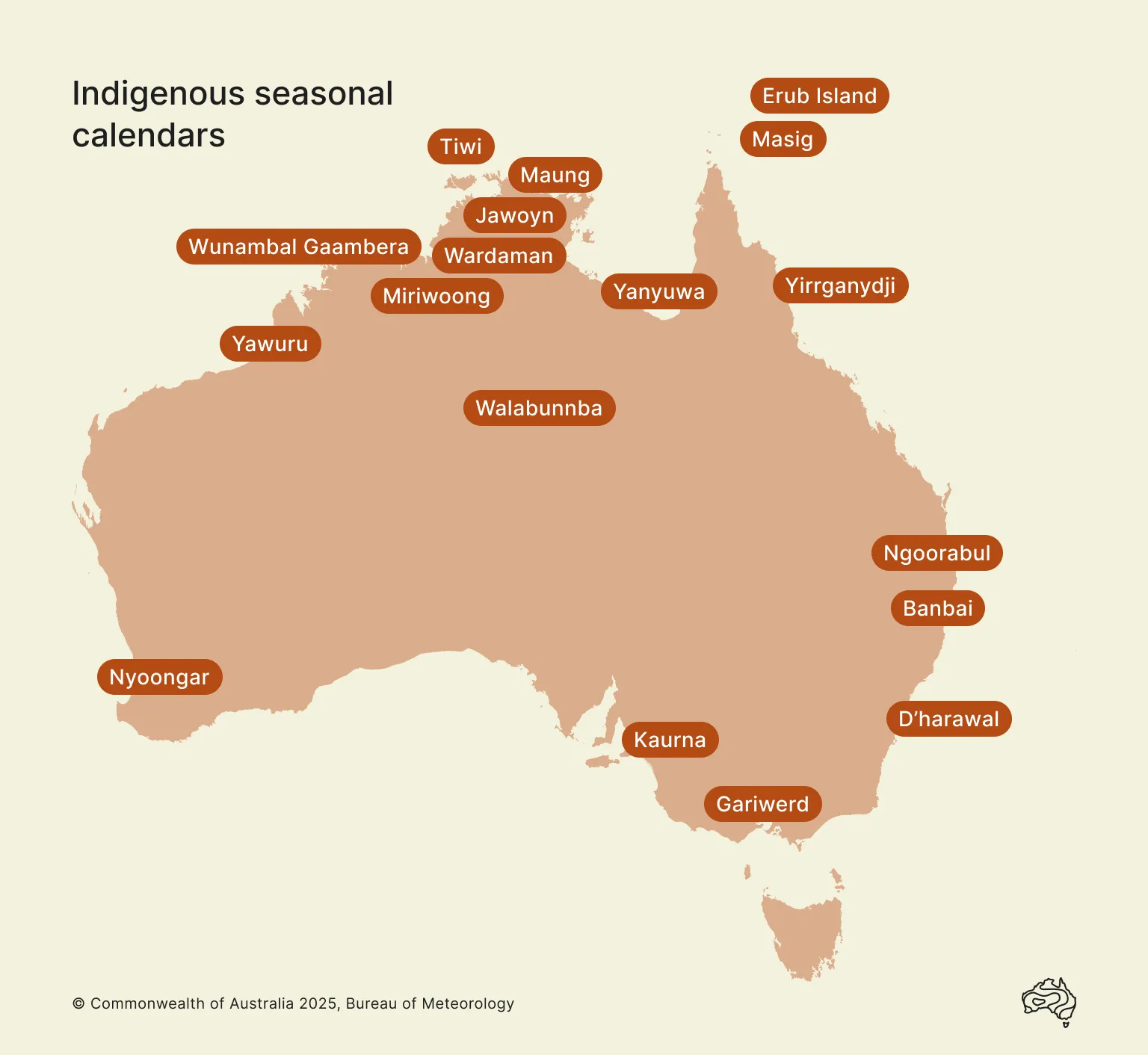
Brambuk Location Map
Gariwerd Calendar
Gariwerd calendar from the Halls Gap Region showing six seasons
January February March March April May June July July August September October November November December January
Kooyang Gwangal Moronn Chunnup Larneuk Petyan Ballambar
Late Summer Autumn Winter Pre-Spring Spring Early Summer
Season of eels Season of honey bees Season of cockatoos Season of nesting birds Season of wildflowers Season of butterflies
Hottest and driest time Warm, still days Freezing winds Dramatic weather changes Weather still tempestuous Onset of Summer heat
Surface water scarce Country starts to cool Coldest time of year Wettest time of year Days are getting warmer Hot, dry days
High bushfire risk
Cool mornings Bleak mists Rivers run high Bush bursts into life Weather stabilises
The night sky is bright with stars Red sunrises and golden evenings Rain   Emu constellation appears in the Milky Way  

Go to information about the brambuk people, homelands and seasons Go to information about the Gariwerd people, homelands and seasons

Go to Bureau of Meteorology rainfall temperature graphs for this region Go to Bureau of Meteorology rainfall & temperature graphs for this region

Visit The National Park and Cultural Centre - Interpretive Matrix Link to "Brambuk: The National Park and Cultural Centre - Interpretive Matrix"

Permission to use the Gariwerd seasonal calendar and related information in the Indigenous Weather Knowledge website is given by the Elders/Directors of Gariwerd which includes the Gunditjmara, Winda Mara (Kerrup Jamara), Goolum Goolum, Kirrae Whurrong and Framlingham peoples www.brambuk.com.au.