Australian Storm Spotters' Guide3. A day to watch Altocumulus castellatus is an indicator of atmospheric instability and a common precursor to thunderstorm development. The example (3.1) below was photographed during mid-morning above the city of Melbourne. Instability is shown by separate towers, or turrets of cloud, rising from a flat middle level base.
Low level moisture is also essential in thunderstorm development. This can sometimes be indicated by the presence of low clouds or haziness in the morning and/or many small cumulus clouds later. Here (3.2) we see a field of small cumulus clouds in the Simpson Desert of South Australia.
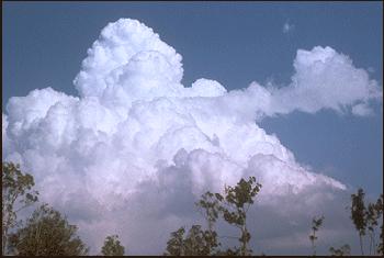
On a typical late spring or summer storm day, a few small clouds may become briefly larger but their tops soon evaporate. At some point however, the number of clouds decreases, and fewer, larger ones remain. Several of these may sprout tall towers, (towering cumulus) as shown above (3.3) in Brisbane.
|