
Weather radar coverage in Australia
Australia has one of the largest weather radar networks in the world.
Radars are generally in areas prone to high-impact weather that might affect either:
- large populations
- areas of economic investment, such as agricultural or mining areas.
Our weather radar images show echoes from clouds 1,000 m to 3,500 m above the ground.
Optimal coverage area for radars
Generally, the optimal coverage area extends about 200 km from the radar.
Within 200 km, a radar generally gives the clearest indication of rainfall. Beyond this, the radar beam may detect rain or cloud in higher in the atmosphere. Images may not match conditions on the ground.
The radar and weather map shows the optimal coverage of each radar at 3,048 m above mean sea level.
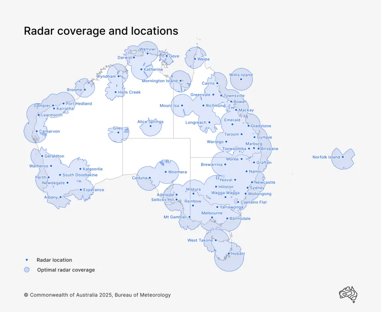
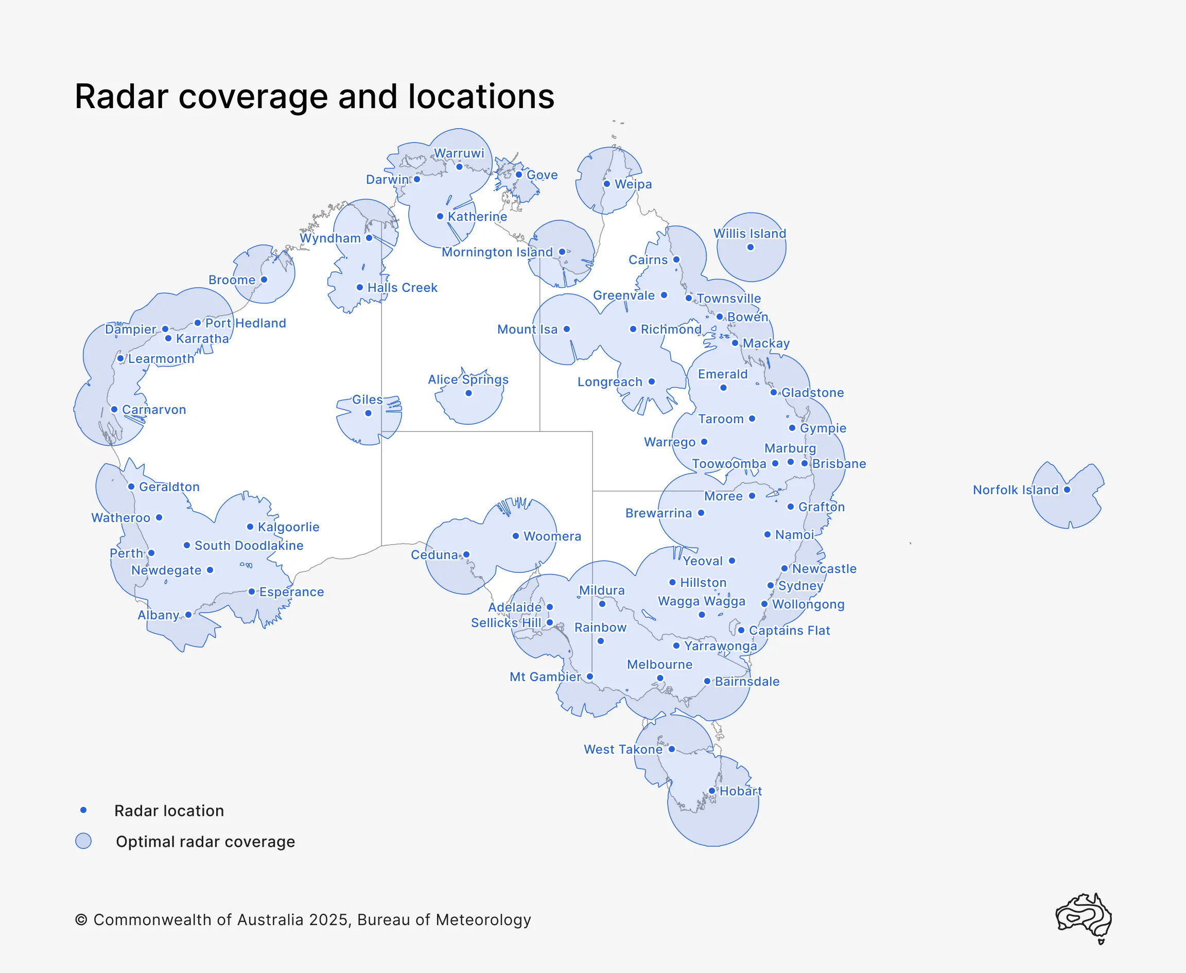
Map of Australia's weather radar network, which includes rain and Doppler (rain and wind) radars
Australian radar sites
Rain and Doppler (rain and wind) radars for each Australian state and territory.
Understanding radar images and maps
Differences between nearby radars
Radars near each other can return different images. This is due to differences in:
- distances and angles from the radar transmitters
- topography
- frequency and angle of the radar beam
- data collection periods.
Learn more about weather radar images.
Radar outages and faults
Sometimes when you think a radar is not working, it can be other issues. Find out what affects weather radar accuracy.
Location names on the radar and weather map
Not all suburbs, towns and cities appear on the radar map. This helps make the map easier to read and access. We aim to include enough locations so you can identify your location.