
The latest website update makes it easier to find current tropical cyclone information, and better targets flood warnings.
One-stop-shop for tropical cyclone information
With this update, it's easier to find all of our tropical cyclone information in one place – everything you need to stay up-to-date and prepare is now one click away.
On the Tropical cyclone page you'll find:
- current cyclone information in the Today tab
- forecast cyclones and tropical low information in the Days ahead tab
- current tropical cyclone forecast warnings, track maps, ocean wind warnings and advice
- links to our tropical cyclone knowledge centre.
The tropical cyclone forecast provides timely information to support informed, risk-based decision making. It includes:
- an interactive map showing the probability of a tropical cyclone for the next 7 days
- a forecast table providing a timeline of risk over the next 7 days for tropical lows and cyclones.
The forecast covers Australia's area of responsibility for tropical cyclones and all Australian communities. This includes the coastal waters and land areas of Australia including Christmas Island, Cocos Island, Lord Howe Island and Norfolk Island.
Learn more about our tropical cyclone warning services in the Tropical cyclone knowledge centre.
More targeted flood warnings
Flood warnings on the website are now targeted to locations in sub-catchments, where previously they were issued for the entire catchment area. This reduces the risk of warning fatigue and improves the consistency of warning information across the BOM Weather app and website.
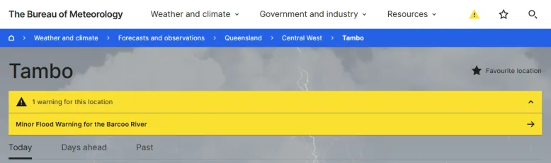
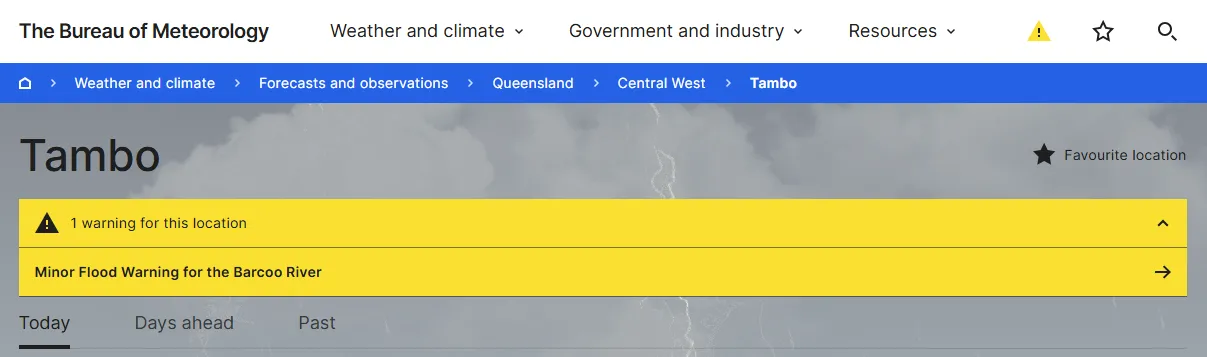
We issue a flood warning when riverine flooding is likely or occurring at a particular location. Current flood warnings are available on Warnings and alerts, and they also appear in the yellow warning banner for any location within the impacted catchment.
In flood warning terms, a 'catchment' is the area of land where rainfall drains into the same river, creek, lake or other waterway. For flood warnings, we divide a catchment into sub-catchments so that we can be more precise about which part of the river system is affected.
Learn more about our flood warning services in the Flood knowledge centre.
Radar image improvements, radar quick links and range rings
Did you catch the September radar update? In last month's website update, we released a set of new tools to help you find and share your local radar, and locate yourself or your property in relation to radars.
Learn more about the radar image improvements, radar quick links and range rings in the September website release.