Descriptions of data layers
Metadata
The data available in MetEye is described in the Metadata information page for this application.
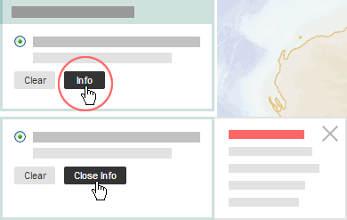
Note: For further information about each map layer, there is an Info button underneath the layer listing, in the left-hand menu, which gives a full description of the layer.

Map Projection
MetEye displays data as un-projected latitude-longitude maps. The datum for these grids is GDA94.
Additional data layers in future
More data sets including further weather and forecast information will be added in future.
These data sets will be for land, coastal and marine areas and broader ocean areas.