


IDV67207
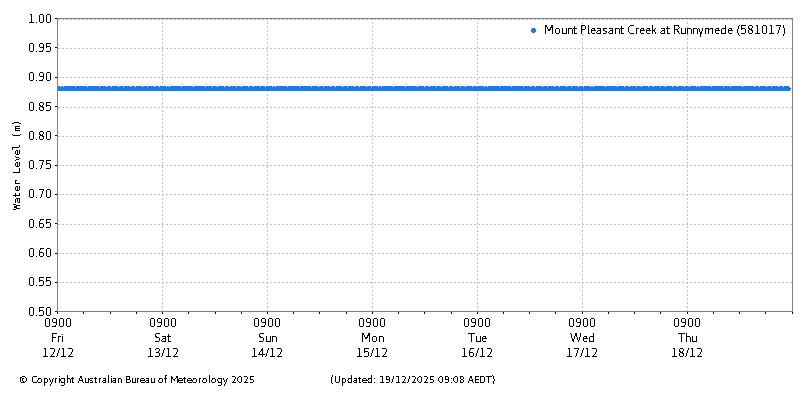
Latest River Heights for Mount Pleasant Creek at Runnymede
Issued at 07:38 AM AEDT Friday 19 December 2025
About river heights plots | About this Plot
Station details:Station Number: 581017 Name: Mount Pleasant Creek at Runnymede
Data from the previous 7 days.
Data as Table | Previous Station | Next Station | Back to Bulletin
About this plot
- The river height observations are real-time operational data, and received from a mixture of manual readings and automated telemetry systems.
- In most cases river heights are expressed in Local Gauge Height (LGH) which typically has a zero reading near the lowest water level reached during dry conditions. In many tidal areas, as well as for a few inland river gauges, river levels are stated in Australian Height Datum (AHD), which is approximately the height above mean sea level.
- The data is provided for flood warning purposes, and it is possible that some data will not be available during non-flood periods.
- Where provided, heights or depths above/below roads, bridges, dam spillways and weirs are given as a guide only.
- Where provided, Cease to flow (CTF) is the gauge height at which the river ceases to flow at a rockbar or weir.
- Unless otherwise noted, all material on this page is licensed under the Creative Commons Attribution Australia Licence