


Climate Data Sites
Site information
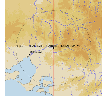
Geographic location
| Site name: HEALESVILLE (BADGER CRK SANCTUARY) | Site number: 086050 | Commenced: 1927 | |
| Latitude: 37.68 °S | Longitude: 145.53 °E | Elevation: 131 m | Operational status: Closed 31 Aug 1990 |
Topographic scale ![]()
Projection: World Mercator
Related Links
- This page URL: http://www.bom.gov.au/climate/averages/tables/cw_086050_SiteMap.shtml
- About climate averages: http://www.bom.gov.au/climate/cdo/about/about-stats.shtml
- Bureau of Meteorology website: http://www.bom.gov.au
Page created Mon 19 Mar 2007 15:53:15 PM EST