Summary
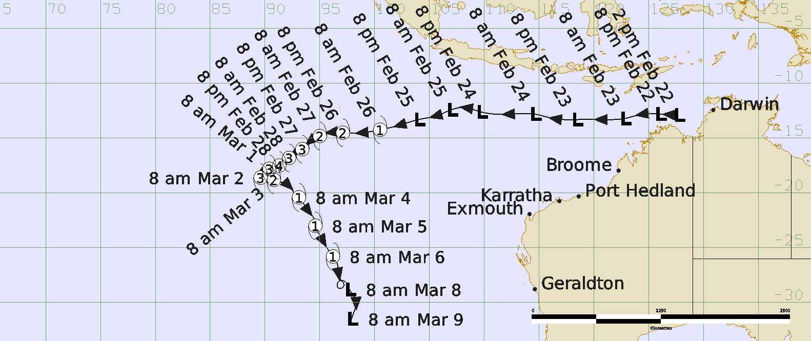
Severe Tropical Cyclone Marian was a long-lived Indian Ocean event that started near Darwin and travelled over open waters without causing any impacts to Australian communities.
The tropical low that became Penny was first identified and tracked on 28 December in the northwest Coral Sea. In the days leading up to New Year's Eve, the low drifted slowly west across Cape York Peninsula and towards the northern Gulf of Carpentaria. The low quickly developed over the Gulf waters then made an abrupt turn back towards the east late on New Years Eve under the influence of the monsoonal flow to the north. The system reached tropical cyclone intensity on New Year's Day, approximately 100 km west of Weipa ahead of making landfall later that day.
A 0.8 metre storm surge was recorded by the Weipa storm tide gauge on 1 January, which lead to a marginal exceedance of the Highest Astronomical Tide level. Large waves were also observed for a brief period at the Weipa wave monitoring gauge.
Following landfall, Penny continued to track in an eastwards direction across Cape York Peninsula and emerged over the northwest Coral Sea on 2 January. Aided by the ongoing strong monsoon flow to the north Penny was able to reform into a tropical cyclone on 2 January and quickly reached category 2 intensity. Penny tracked further across the Coral Sea and peaked on 3 January as a category 2 strength system having 10-minute maximum winds to 55 kn (100 km/h).
Penny commenced weakening during 4 January as it became removed from the monsoonal flow to the north of the system and as drier mid-level air began to entrain into the circulation. The system fell below tropical cyclone intensity late on 5 January but gales continued south of the centre until 8 January as the system tracked southwest towards the Queensland coast.
The low was tracked until 9 January near Bowen. Heavy rainfall then occurred in areas of central and northern Queensland. Strathbogie (south of Ayr and west of Bowen) received 432 mm in the 24 hours to 9 am on 10 January.
For more information see the TC Marian Report (doc).
Track and Intensity