


Border Rivers: Region description
- The Border Rivers catchment is highly dependent on surface water for agricultural purposes.
- Agriculture is the main economic driver for most of the towns within the region.
- The Basin Plan, jurisdictional water sharing plans, and interstate agreements between Queensland and New South Wales guide water management in the catchment.
For further information about the region scroll down this page or click on the links below:
Geographic information
")
General description
Area: 10,000 km²
Population: 50,000 (Australian Bureau of Statistics [ABS] 2016)
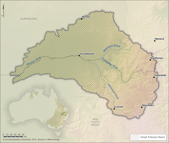
Figure R1 The Border Rivers catchment
- The Border Rivers catchment is located in the northern part of the Murray–Darling Basin. The catchment overlaps the border between Queensland and New South Wales.
- Agriculture, particularly irrigated agriculture, is a major economic driver for most of the towns within the region, including the larger regional centres of Goondiwindi and Stanthorpe.
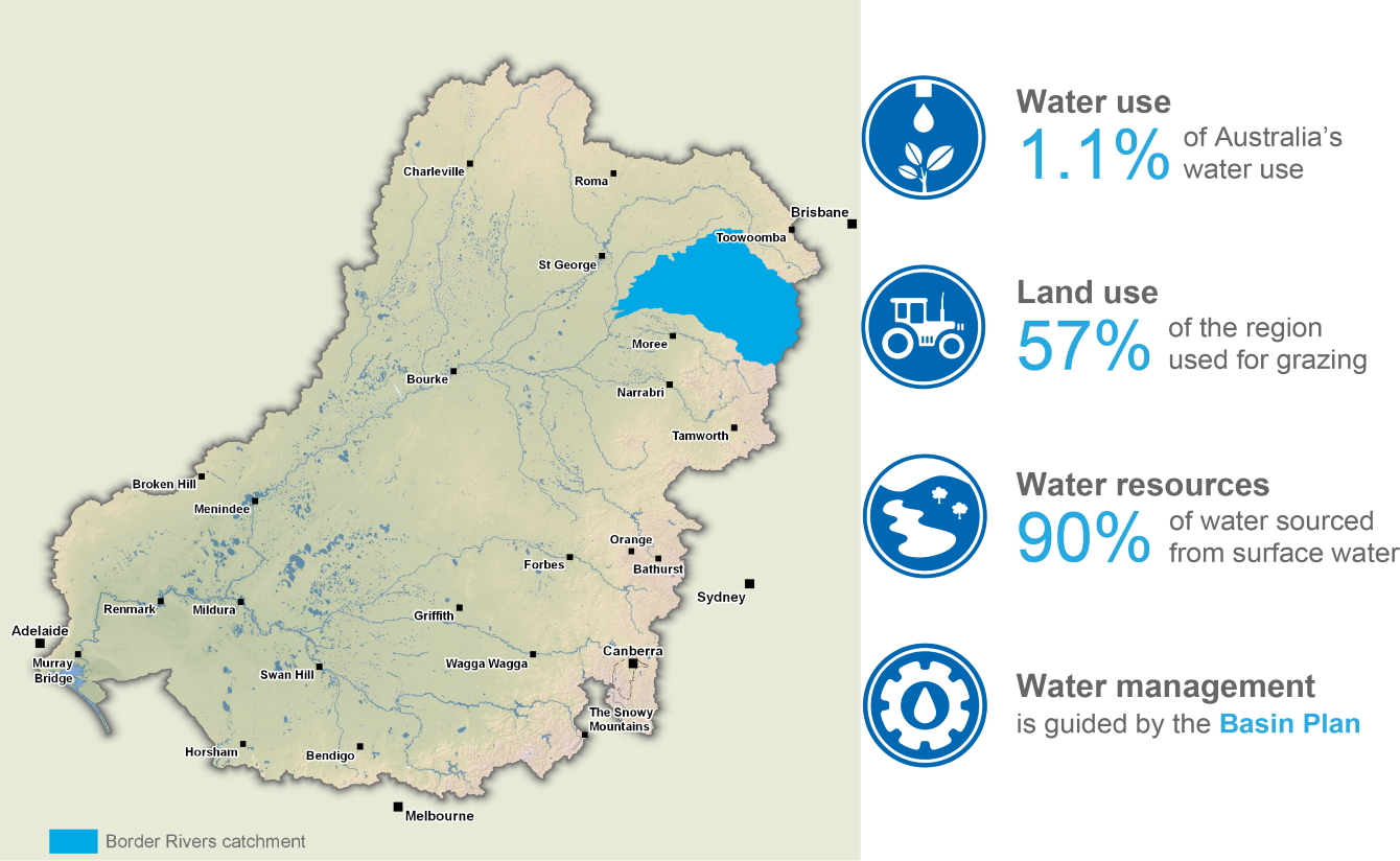
- Water use in the catchment makes up around 4.4% of the Murray-Darling Basin's total water use.
- Grazing and dryland agriculture accounts for approximately 80% of land use in the Border Rivers catchment.
- As only 13% of the catchment is intercepted by large reservoirs, the Border Rivers is primarily a free-flowing system. The catchment has the highest percentage of pre-development end of system flows of any of the developed catchments in the Murray-Darling Basin.
Water resources
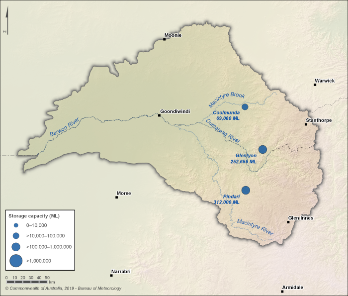
Figure R2 Major storages in the Border Rivers catchment; capacity of each storage is also shown
- Most of the region's water supply is sourced from the region's three major reservoirs—Pindari, Glenlyon and Coolmunda—mainly for agricultural purposes.
- Some surface water supply is also sourced from rivers and on-farm storages.
- Groundwater, also an important water resource within the region for agricultural purposes, is sourced from alluvial deposits (including Border Rivers Alluvium, Macintyre Alluvium, and Ottleys Creek Alluvium), sandstone aquifers in the Great Artesian Basin and fractured rock sediments.